Gargantua Harbour was to be the next stop after leaving Quebec Harbour. Gargantua was once again reported to be a beautiful and well protected anchorage. Lake Superior was as flat as we had seen her since we made our crossing to Isle Royale as we motored our way back to the mainland. As we neared … Continue reading Beauty Cove (July 29th-30th)
Month: August 2016
Moving Along and Hunkering Down (July 22nd – 28th)
We left Battle Island for the Slate Islands and again found lumpy seas and contrary winds. We had been told about “the sisters” of Lake Superior which are occasional groups of three waves that are larger than the rest. With the seas on the beam we got to know the sisters well as we rolled … Continue reading Moving Along and Hunkering Down (July 22nd – 28th)
Where are we really?
With me so far behind on blogging (sorry about that), you may be worrying that we'll be iced in Lake Superior if we don't get going. Put your minds at ease because we have in fact moved on. There's a new item in the sidebar, "Recent Noodin Sightings", that we'll try to keep current. The … Continue reading Where are we really?
Woodbine Harbour (July 19th)
Location: 48°45.2’N, 87°43.3’W The sun was high in the sky as we left the CPR slips which made navigating the shallows easier. Woodbine Harbour was the day’s destination and was a relatively short jaunt. The wind was light so it was yet another day of listening to the drone of the diesel. The rock face … Continue reading Woodbine Harbour (July 19th)
Battle Island (July 20-21)
Location: 48°45.3’N, 87°33.1’W The plan was to leave Woodbine Harbour, stop at Battle Island to see the lighthouse, and then continue on to the town of Rossport and possibly spend the night there. We entered the anchorage at Battle Island only to find that the wind was blowing hard enough to take the enjoyment out … Continue reading Battle Island (July 20-21)
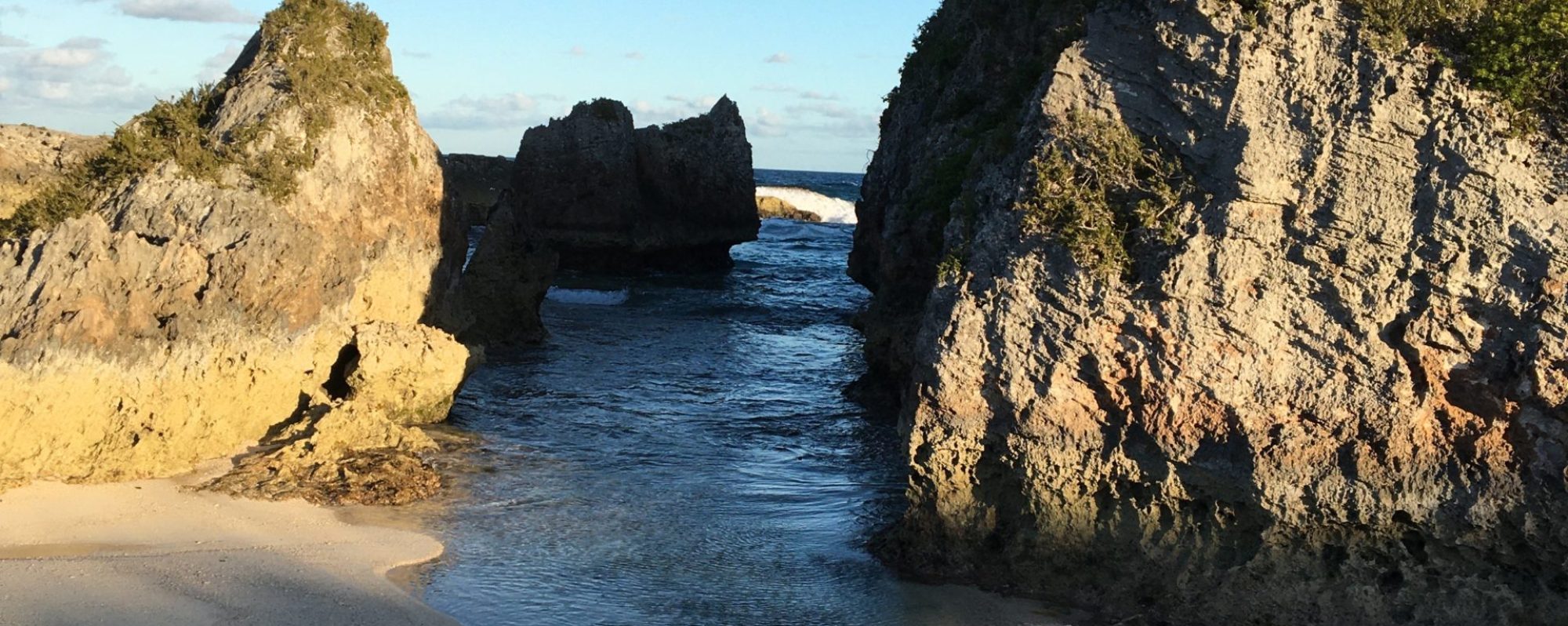
CPR Slips – St. Ignace Island (July 18th)
We left Red Rocks, Ontario early in the morning bound for the CPR slips. Our route took us back out Nipigon Strait but this time we had the wind and the current at our backs so it was a quicker trip. We were actually even able to sail for a while. We had read about … Continue reading CPR Slips – St. Ignace Island (July 18th)
Otter Cove and Red Rock, Ontario (July 14-17)
Otter Cove (48°37.2’N,88°13.5’W) was just a short 10 miles or so from Loon Harbour and was supposed to be a beautiful spot. Once again, the wind wasn’t cooperating so we motored our way through the islands to Otter Cove. Thank God for the chart plotter and GPS or navigation would have been a real struggle. … Continue reading Otter Cove and Red Rock, Ontario (July 14-17)
Loon Harbour and a Dinghy Named Flipper (July 11-13)
We left the little marina at Rock Harbour bright and early for the approximately 35 mile open water trip to Loon Harbour in Ontario. Winds were light again and pretty much directly behind us as we set off. There was a pretty large swell aft of the beam which made things just a little uncomfortable. … Continue reading Loon Harbour and a Dinghy Named Flipper (July 11-13)
Holed Up in Chippewa Harbor (July 6th – 8th)
We woke up to a cloudy sky with traces of fog showing over the hills around Windigo.The fog wasn't a good sign as our friend Dave had told us their was often fog on the main lake when it was clear in the harbors. We had about 40 miles to travel from Windigo to Chippewa … Continue reading Holed Up in Chippewa Harbor (July 6th – 8th)